On a Tuesday in late winter, I laid eight historical plans of Venice on the studio floor and traced the edge of the city onto tracing paper, one plan at a time. The exercise began as a frame decision for a poster in our Adriatic series — we draw cities from their real geography, and Venice, being coastline rather than river, forces the question of where the city ends and the lagoon begins. What I expected was cartographic drift. What I found was eight different arguments about what Venice actually is, drawn by men who had every reason to agree and did not.
The Question That Started as a Frame Choice for a Poster
A poster is a frame decision before it is anything else. You choose what the picture keeps and what it lets fall off the edge, and that choice tells the viewer what the place is. Rivers make this easy. Paris is the Seine and a few blocks either side of it, and any competent frame around the Seine will feel like Paris because the river carries the identity. The water is the argument.
Coastal cities are harder. A coast is a boundary that is also a horizon, and the further out you extend the lagoon in a print of Venice, the more the city stops being a city and starts being a floating idea. Cut too tight and the frame reads as an aerial detail; cut too wide and the built fabric shrinks to a punctuation mark inside a very large body of water. The Queen of the Adriatic, as a poster subject, is a hard frame problem before it is a drawing problem.
We had been circling Venice for months and had approached it from every angle except the one that mattered. Sketches from the Basin looking north. Sketches from the campanile of San Giorgio Maggiore looking west. Sketches from a boat off the Lido looking in. None of them survived the studio review because none of them answered the frame question. What should the poster's edge contain, and what should it release?
That question, it turned out, depended on a prior one no one had asked. What did the people who drew Venice first think Venice was?
So on a Tuesday in late winter I pulled every historical plan I could source at printable resolution — eight of them, spread across roughly four centuries — and put them on the floor. The oldest was the famous bird's-eye view produced in the workshop of Jacopo de' Barbari, dated 1500 and printed from six large woodblocks. The most recent was a mid-nineteenth-century Austrian cadastral survey, precise, drawn to answer to a bureaucracy rather than to a viewer, produced after Venice had passed to imperial administration. Between them sat perspective views engraved on Venetian presses in the seventeenth and eighteenth centuries, a French plan drawn during the Napoleonic period when the city changed hands, and a pair of early modern hybrids that tried to be both a plan and a picture — half survey, half portrait.
I laid tracing paper over each in turn and outlined only one thing. Not the canals inside. Not the arsenal. Not the churches. Only the outer edge where the built city met open water. The one line that a poster frame would ultimately have to respect.
It should have been a mechanical exercise. The plans were of the same city, produced by educated men working within a tradition that valued survey accuracy, publishing to audiences that included merchants and admirals with financial reasons to want the picture correct. If they disagreed, they should have disagreed at the margins.
They disagreed at the center. Not by a small amount.
What the Old Plans Agree On, and Where They Quietly Diverge
Trace one Venice, then trace another, then stack the sheets on a lightbox. The first thing that emerges is the invariant. The great S-curve of the Grand Canal appears in every plan across four centuries with the same essential silhouette. The Basin of San Marco is the same basin. The Giudecca is a long dark shape across the water in every image. The general figure of the city — a fish, a foot, a heart, depending on which sixteenth-century humanist you happen to be reading — is consistent enough that a fourteenth-century Venetian dropped into 1850 would recognise the parish he grew up in and the bridge he crossed to get to work.
Around that invariant, everything drifts.
The outer islands of the lagoon are the largest source of disagreement. Some plans hold Torcello and Burano with full attention, drawing their canals and their campanili as if they mattered to the reading of the city. Others reduce them to schematic dots at the edge, gestures toward the presence of a north lagoon that the artist did not intend to argue about. Murano's shape changes between plans in ways that cannot be entirely explained by four centuries of infill and dredging. The sandbar spits that separate the lagoon from the open Adriatic — the Lido, Pellestrina, Sant'Erasmo — are drawn either as fingers of solid ground with real geography or as suggestive strokes that acknowledge the barrier without accepting responsibility for its shape. The de' Barbari view, remarkable for its date, resolves the northern lagoon with a confidence that later plans do not always match.
The interpretive tradition and the survey tradition were doing different jobs. A bird's-eye view meant for the wall of a merchant's counting-house was a portrait of a city as an idea. A cadastral plan drawn under the Austrians was legal evidence, taxable and precise, and it inherited from the Napoleonic administration the assumption that the lagoon was a system to be mapped, catalogued, and eventually rationalised. Between them sat the eighteenth-century engraved plans — the great flowering of Venetian print culture, in which the workshop of Vincenzo Coronelli and its successors turned cartography into a commercial European product. Those plans had an audience that already had opinions about Venice and wanted their picture confirmed. Each tradition made honest choices, and each set of honest choices produced a different coastline.
The most revealing divergence is in the way canals meet the outer edge. A city like Venice has hundreds of moments where a rio disappears into the lagoon or emerges from it, and a cartographer must choose whether to draw those as clean intersections or as ambiguous zones. The earlier plans, which had less exact survey behind them but a stronger commitment to the picture, tend to give the edges more air — the city fades into water, the water is drawn as a partner rather than a boundary. The later, more instrumented plans harden the line. The 1500 view is generous to the lagoon. The nineteenth-century survey is generous to the land.
Neither is wrong. They are answering different questions. What Venice is, in the sense that a poster asks, is not settled by measurement. It is settled by what you include.
The other thing the stacked tracings make visible is that the plans are arguing about the city's future as much as its past. A plan that draws the sandbars as robust and continuous is imagining a Venice that the sea will not reach. A plan that draws them as broken and provisional is imagining a Venice under permanent threat. The mid-nineteenth-century Austrian survey, drawn for administration by an occupying power, treats the lagoon like a solvable problem — every reed bed accounted for, every marsh assigned to some jurisdictional column. The de' Barbari view, drawn from within Venice by a workshop working for Venetians, treats the lagoon like a member of the family. It has moods. It has weather. It has business elsewhere.
This is not, in the end, cartographic drift. This is eight arguments about what Venice is, made by people who had genuine information and different reasons to draw. The frame decision for our poster resolved itself once we understood that. We were not looking for the correct Venice. We were choosing which of the honest Venices to inherit.
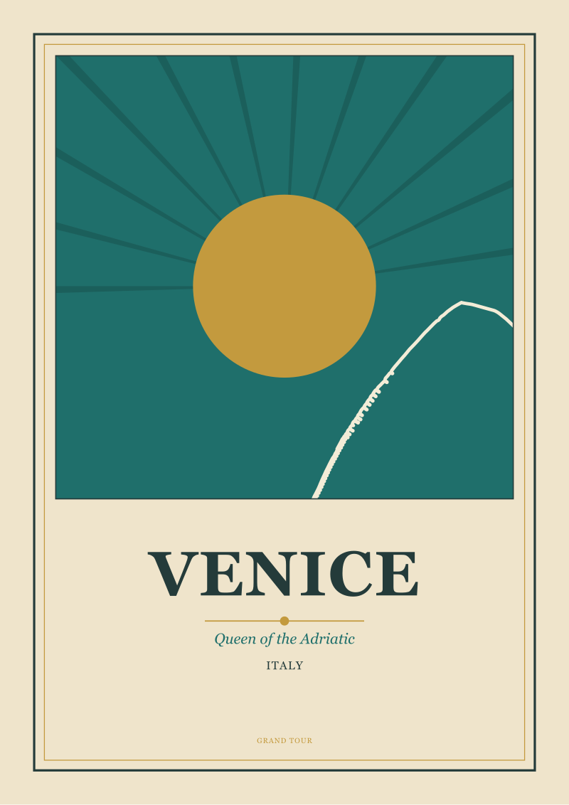 Venice
The print from this article · from €29.95
View the print →
Venice
The print from this article · from €29.95
View the print →
What This Comparison Cannot Tell You About Venice
I want to be careful about what an exercise like this proves and what it does not. This started as a frame decision and became an argument about seeing, but it is not a work of academic cartographic history and it should not be read as one.
The first thing it cannot tell you is which plan is right. There is no single ground truth against which to measure four centuries of drawing. Venice has physically changed — infill on the northern lagoon, engineering on the sandbars, subsidence and rising water, canals lost to landfill and canals dug elsewhere — and the modern coastline that OpenStreetMap gives us, drawn from contemporary survey and satellite return, is only the current answer to a very old question. Compared against the 1500 view, the modern coastline is not the true one. It is the one that happens to obtain in the twenty-first century. Give the argument another two hundred years and it will obtain differently.
The second thing it cannot tell you is anything definitive about the acqua alta and the future of the city under rising seas. That is a question for hydrologists, engineers, and the archives of the flood barriers currently protecting the lagoon mouths, not for a studio comparing tracing paper on a Tuesday. When our plans disagree about the sandbars, they are disagreeing about the past — about what those barriers looked like when they were drawn — not about what they will look like in fifty years. The forward-looking argument requires evidence we did not gather, and it belongs to specialists who have not been on the studio floor.
The third thing it cannot tell you is anything about Venice's mainland. Mestre and Marghera, the industrial and residential city that has grown along the causeway and now holds most of the metropolitan population, appears on none of the plans I traced, for the reasonable reason that most of what is now that city did not exist when the plans were made. But it exists now, and any complete portrait of Venice as a functioning place has to answer for it. A poster of the island city is a defensible object. It is not the whole answer.
And there are things I chose not to include even within the tradition I was studying. There are ecclesiastical plans of the parishes and their boundaries. There are engineering plans of the water system, drawn to explain how the tides carried the sewage out. There are military charts of the lagoon prepared for Napoleon's engineers and for the Austrian navy, whose interest in the sandbars was different from anyone else's. There are plans emphasising channels rather than islands, plans of the arsenal drawn as an arsenal and not as a district of the city, plans of the fisheries. Eight plans is a reasonable sample for a floor and a Tuesday. It is not a census, and I would not pretend it was.
What the comparison does show, and what I am confident of, is that the picture of Venice as a settled visual fact — the same city everyone has always drawn — is not correct. Venice has been drawn many ways by people who saw it clearly, and the differences are not errors in the older ones or improvements in the newer ones. They are readings. Choosing which of those readings to inherit for a piece of contemporary print work is not a technical decision. It is an editorial one, and pretending otherwise is how the studio ends up producing a picture that is precise and dead.
We are drawing our Venice from the de' Barbari frame in the end. Not because it is the most accurate. Because it is the most generous to the lagoon, and the lagoon is what the poster is finally about.
---
This piece started as a frame problem — how much water our Venice poster should include, and where the edge should fall — and turned into an argument about why coastal cities are drawn differently from river cities in the first place. Somewhere between the third and fourth tracing, the practical question dissolved into a historical one, and the practical answer only returned once the historical one had been sat with. The prints in the shop that eventually came out of this exercise are, in a sense, the least of what it produced. What it produced was a decision about what we now think we are drawing when we draw Venice, and that decision is going to shape every Adriatic frame we cut for years.
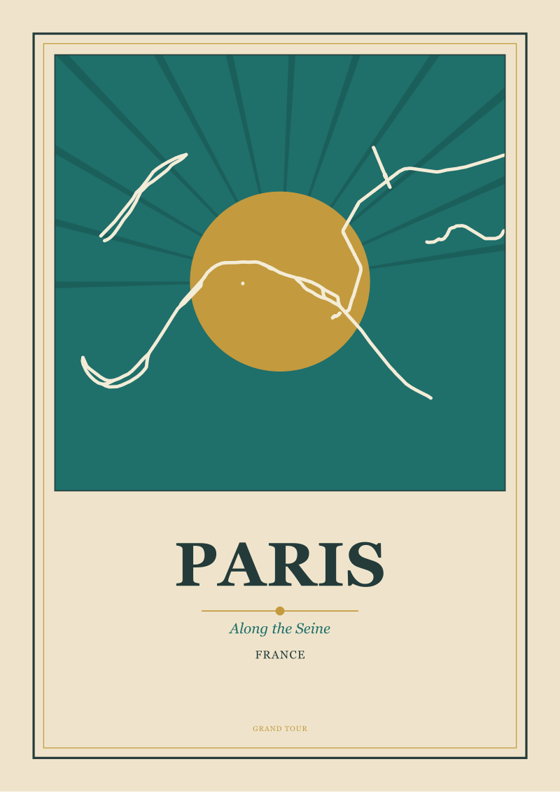 Paris
The print from this article · from €29.95
View the print →
Paris
The print from this article · from €29.95
View the print →
New city prints and 10% off your first order.
One email now with your code. No noise after.