Ask a Roman which seven hills the city was built on and you will get, on a good day, five names and a shrug.
This is not a failure of civic education. It is the correct response. The Seven Hills of Rome are, and have always been, a literary object first and a topographic one second. They are named the way constellations are named — because a story needed them to be seven, not because seven is the count you would arrive at with a level and a measuring rod.
At the studio we draw Rome the way we draw every city on the list: from the geometry up. We start with the river. Then the higher ground. Then, very late in the process, the monuments. What we have found, over years of trying to fit the Eternal City onto a poster, is that the seven-hill account is a beautiful piece of received wisdom that quietly does not survive the drafting table. This piece is about what does.
The Seven Are Not the Only Seven, and That Is the Whole Story
The canonical list runs like a schoolroom chant: the Palatine, the Aventine, the Capitoline, the Quirinal, the Viminal, the Esquiline, the Caelian. Ancient sources agree on it. Modern guidebooks repeat it. Roman children can recite it in the same singsong they use for kings and consuls.
The list is old, but not as old as the hills. It was fixed in memory somewhere between Republican piety and Augustan self-portraiture, and its purpose was less cartographic than devotional. Seven was the number that fit the ritual perimeter of the pomerium — the sacred boundary Rome drew around itself to distinguish inside from outside — and it made a kind of theological sense the way a heptagon does. Not because the ground offered seven and no more, but because the city needed seven and no more.
Walk the actual terrain and you can add. The Janiculum rises on the west bank of the Tiber, higher than most of the seven, offering the panorama every guidebook now recommends; it did not make the canonical list because it sat on the wrong side of the river when the list was written. The Vatican Hill is another. The Pincian, above the Piazza del Popolo, is topographically indistinguishable from any of the seven and was folded into the fabric of the city centuries later. The Aventine itself was excluded from the pomerium until the reign of Claudius, sitting inside the city physically and outside it liturgically.
None of this is secret. It is in the sources. What the poster tradition, and the guidebooks that inherited it, decided long ago is that seven is the number a drawing can hold. Eight breaks the composition. Nine is a list. Ten is a spreadsheet. Seven is a shape the eye can close.
The Tiber Draws the Line the Hills Only Complete
Rome's defining geography is the river, not the elevation. Every attempt to poster Rome as a topographic object, seven bumps arranged around a forum, produces the same flat, unloved result — a diagram that reads like a dental chart. The city does not compose that way from any angle a viewer can actually stand at.
It composes around the Tiber.
The bend of the river is what cradled the Palatine and gave the Forum its floor. The Capitoline sits at the neck of that bend, which is why the Senate placed itself there and why every subsequent regime — papal, monarchical, fascist, republican — has continued to place itself there. The Tiber Island, small enough to fit in the middle of a sentence, was the crossing point that made the whole settlement work. To draw Rome from above without drawing the river is to draw a heart without its arteries; the hills become inert.
This is not a metaphor we bring to the page. It is what the drafting table shows. When we tried, early on, to reduce Rome to its seven-hilled skeleton, we produced posters that could have been any Italian hill town enlarged. When we started with the Tiber — its exact meander, its islands, its embankments — the hills fell into place around it like knuckles pressed into a green ribbon, and the composition finally read as Rome.
The travel posters that survive from the golden age of railway advertising understood this without ever needing to say it. The Rome posters of the interwar period almost never lead with the seven hills as a subject. They lead with St. Peter's seen from across the river; with the Colosseum seen from the axis bulldozed toward it in the 1930s; with the dome of the Pantheon seen from a rooftop somewhere in the Campo Marzio. Each of these images is oriented by water and by the low ground the river carves, not by the hills.
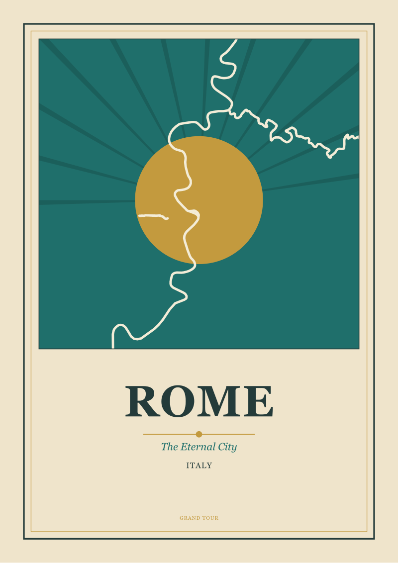 Rome
The print from this article · from €29.95
View the print →
Rome
The print from this article · from €29.95
View the print →
A Drawable Rome Is a City Chosen, Not a City Surveyed
Every era has drawn its own Rome. This is the deeper point the seven-hills question dances around.
The Rome of Piranesi, in the eighteenth century, was a Rome of ruins seen from below, hills implied rather than shown, columns and arches asserting themselves into a sky that was more mood than atmosphere. The Rome of the Grand Tour was assembled by young Englishmen with sketchbooks who drew the Colosseum from the same three vantage points and the Pantheon from the same two, canonizing an itinerary that is still, more or less, the itinerary of a first visit.
The Rome of the 1930s tourism campaigns was a Rome of imperial nostalgia, redrawn to flatter a regime that wanted continuity with Augustus more than it wanted honesty about topography. The Palatine, home of the emperors, was the hero of these posters. The Aventine, always the residence of merchants and outsiders, did not appear.
The postwar posters chose differently. They chose the Capitoline for civic pride, the sweep of Michelangelo's piazza offering an image of a Rome that was orderly, humanist, self-governing. They chose the Trastevere neighborhood, west of the river, for a Rome that was still a city rather than an open-air museum. They rarely chose the seven together, because the seven together do not draw. They chose one hill at a time and made it a portrait.
At our shop we work in the same tradition, though later. When we draw Rome, we pick a hill and a light and a river bend and we let those three elements do the work; we do not try to fit all seven into a single poster because we have learned, the long way, that the number seven is a claim, not a composition.
The Aventine at dusk is a different city from the Capitoline at noon. The Palatine seen from the Circus Maximus is a different subject from the Palatine seen from the Roman Forum. Each is a Rome. None is the whole. Seven, taken all at once, is a spreadsheet.
This started as a piece about geography and turned, somewhere around the second draft, into a piece about editorial choice. The seven hills are not a lie. They are a decision — one Rome made about itself a very long time ago, and one every subsequent generation of artists and cartographers has quietly renegotiated. The question worth carrying forward is not how many hills there really are. It is which hill your Rome is built on, and who decided.
FAQ
Which seven hills does the canonical list actually name?
The traditional list, fixed in Republican and early Imperial Rome, names the Palatine, the Aventine, the Capitoline, the Quirinal, the Viminal, the Esquiline, and the Caelian. These sit on the east bank of the Tiber and correspond to the sacred perimeter — the pomerium — that ancient Rome drew around itself. The list is a religious and rhetorical object as much as a geographic one, and it was stable enough by the age of Augustus that later writers rarely questioned it.
Are there really other hills in Rome that got left off the list?
Yes. The Janiculum rises on the west bank of the Tiber and is higher than most of the canonical seven; it was excluded because it sat outside the pomerium when the list was fixed. The Vatican Hill is another. The Pincian, above the Piazza del Popolo, is topographically indistinguishable from the seven and was absorbed into the city later. The exclusions are historical and liturgical, not physical — the ground itself does not distinguish.
Why is Rome called the Eternal City?
The epithet is Roman in origin, not modern. Ancient poets and orators used variants of the phrase to assert that Rome's political and religious authority stood outside the ordinary lifespan of cities, meant to outlast empires that would come and go around it. Later Christian writers picked the phrase up for their own reasons, layering the idea of an eternal Church over an eternal city. By the time of the Grand Tour it was standard usage in every guidebook printed in London or Paris.
Why does every travel poster of Rome seem to feature the river?
Because Rome composes around the Tiber. The bend of the river cradles the Palatine and the Forum, and every major building of the city — from St. Peter's to the Pantheon to the Castel Sant'Angelo — is oriented by its relation to the water. When artists try to reduce Rome to its hills alone, the result reads as any Italian hill town. When the river is present, the image reads unmistakably as Rome. The travel posters of the interwar period understood this instinctively.
Was the number seven a real count or a symbolic choice?
Both, in tension. There are certainly seven distinct rises within the pomerium, and the ancients were not inventing terrain. But the decision to canonize those seven and to exclude others of similar height was a rhetorical and religious act. Seven was the number that fit the ritual boundary, the number that made theological sense, and the number a memorable list could hold. The topography permitted seven; the culture chose it.
Which hill offers the panoramic view the postcards actually show?
Most of the panoramas of Rome sold as postcards are taken from the Janiculum, which is not one of the canonical seven. The Pincian offers the second most-photographed panorama, looking south over the Piazza del Popolo toward St. Peter's. The Aventine gives a quieter version of the same view. The canonical hills are, ironically, better viewed from than viewed of — their power in the city's imagination comes from what stands on them, not from how they look from a distance.
How did the poster tradition of the twentieth century treat the seven hills?
Selectively. The 1930s tourism campaigns favored the Palatine for its imperial associations. The postwar posters chose the Capitoline for its Michelangelo-designed piazza and its civic symbolism. Almost no travel poster of the golden age tried to depict all seven at once, because the seven together do not compose — they read as a diagram rather than a place. Each successful Rome poster picks one hill, one light, and one relationship to the river.
Does the seven-hill account still shape how the city is understood today?
Yes, more than it should. Guidebooks repeat it. School curriculums teach it. The tourist itinerary of a first visit is still, essentially, a route between three or four of the canonical seven. But anyone who spends time in Rome learns quickly that the interesting neighborhoods — Trastevere, the Testaccio, the Aventine's quieter slopes — are not organized by the seven-hill logic at all. The list survives as a piece of literary furniture, not as a working map.
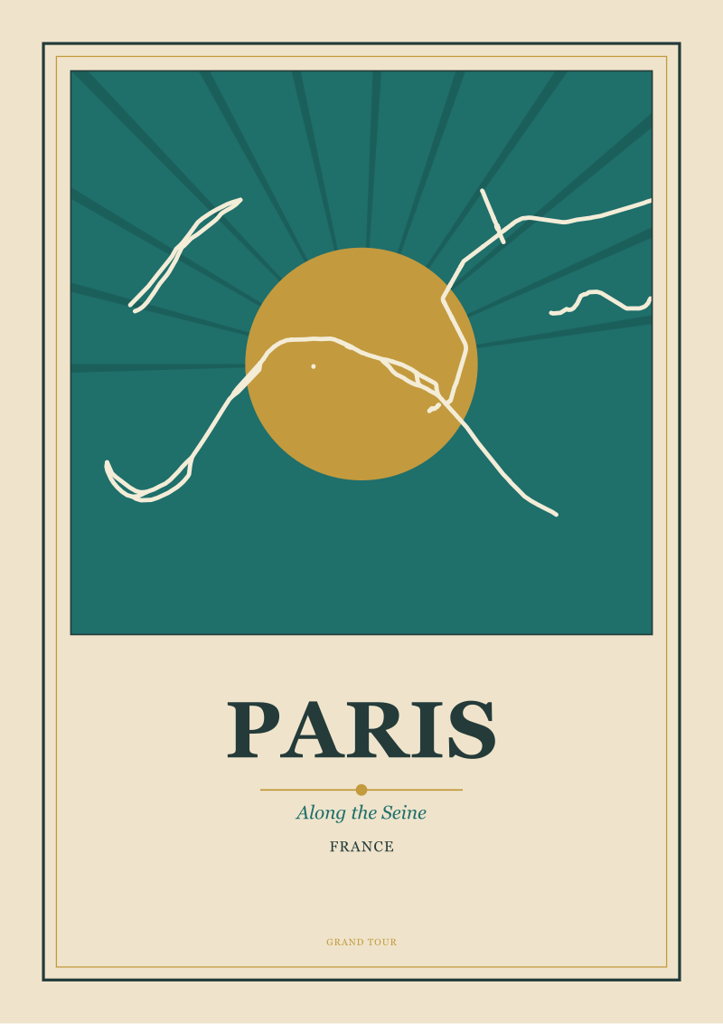 Paris
The print from this article · from €29.95
View the print →
Paris
The print from this article · from €29.95
View the print →
New city prints and 10% off your first order.
One email now with your code. No noise after.