The Cerdà block measures 113.3 meters on a side, and every corner is sliced off at 45 degrees.
That is the Eixample. Everything else — the sightlines, the light, the strange octagonal plazas that appear at every intersection, the reason Barcelona photographs the way it does from the air — is a consequence of those two numbers. Most explainers of the Cerdà plan describe it in adjectives: rational, utopian, hygienic, modern. We wanted to describe it in arithmetic. So we did.
What follows is a walk through the specifications Ildefons Cerdà published in 1859 and elaborated in his 1867 *Teoría general de la urbanización*, held against the geometry of the city that got built. Where the drawing and the city diverge, we say so. Where the math confirms something obvious, we let it confirm. Where it destroys something you were told, we let it destroy.
Methodology
We are working from three sources. First, Cerdà's own published dimensions for the Eixample block — 113.3 meters square, with 45-degree chamfered corners of roughly 20 meters. Second, the aerial geometry of the built Eixample as it exists today, verified against OpenStreetMap under the Open Database License. Third, standard published references on comparative urban grids (Manhattan's Commissioners' Plan of 1811, Haussmann's Paris interventions, the Latin American *damero*).
We do not measure every block individually. Real Eixample blocks vary by a meter or two, and the chaflan length is sometimes recorded as 15 meters, sometimes as 20, depending on whether one measures the diagonal facade or the leg of the cut. We use 20 meters for the diagonal facade, which is the most commonly cited figure in the Catalan urban-planning literature. Where a number depends on which convention we chose, we say so before we do the arithmetic. We do not invent visitor counts, tourism figures, or dates for individual buildings. Everything below is either a direct dimension, a calculation from a direct dimension, or clearly labeled as an approximation.
Finding #1: The block is 113.3 meters, and the number is not arbitrary
Cerdà specified a block 113.3 meters on each side. To a modern reader this looks like an odd number pulled from nowhere. It is not.
Cerdà was working in the Castilian *vara*, an old unit of length equal to about 0.8359 meters. A block of 113.3 meters is therefore approximately 135.5 varas. He was targeting round figures in the unit his contemporaries actually used to survey land, and the metric conversion produced a number that reads as strange only because we look at it in the wrong system. This matters, because it tells you the block dimension was not aesthetic. It was cadastral.
The consequences of that 113.3 are structural. Cerdà designed the streets between the blocks to be 20 meters wide — again, a round number in the old unit. That gives a grid pitch, from block edge to block edge across the street, of 113.3 + 20 = 133.3 meters. Every east-west or north-south crossing you make in the Eixample is 133.3 meters of urban distance. Walking at a steady pace of 1.4 m/s, that is 95 seconds per block crossing. The city has a metronome.
Compare that to Manhattan below 14th Street, where blocks are roughly 80 meters north-south by 275 meters east-west. Manhattan gives you a fast axis and a slow one. The Eixample gives you the same interval in every direction. Cerdà was engineering isotropy — a city with no preferred grain.
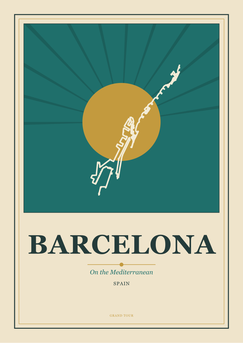 Barcelona
The print from this article · from €29.95
View the print →
Barcelona
The print from this article · from €29.95
View the print →
Finding #2: The chaflan removes 100 square meters from each corner, and gives it back at the intersection
The chamfered corner — the *chaflan* — is the Eixample's signature. Every corner of every block is cut at 45 degrees. The commonly cited length of the resulting diagonal facade is 20 meters.
Here is the arithmetic. A 45-degree cut with a diagonal length of 20 meters removes a right isoceles triangle whose two legs each run 20 / √2 ≈ 14.14 meters along the block edge. The area of that triangle is (14.14 × 14.14) / 2 = 100 square meters. Each block loses 100 m² at each of four corners, or 400 m² total.
Total block footprint before the chaflan: 113.3² = 12,836.89 m². After the chaflan: 12,836.89 − 400 = 12,436.89 m².
The city gives back exactly what the block loses, and then some. At every intersection, four chaflans meet. That converts what would be a simple 20-meter-square crossing (400 m²) into an octagonal public space. The octagon has a footprint of roughly 400 m² of street plus 400 m² returned from the four adjacent blocks — an intersection of nearly 800 m². Cerdà was not decorating corners. He was manufacturing 4,000 to 5,000 miniature plazas across the plan. The Eixample contains more distributed public space per hectare than almost any other 19th-century grid, and the chaflan is where it lives.
The chaflan also solved a problem no one thought about before Cerdà, and everyone thinks about now: turning radii. A right-angle corner in a dense grid is a nightmare for horse carts and, later, trams and buses. The 45-degree cut widens the sightline at every intersection and gives a vehicle room to turn without swinging into the opposite lane. It is a piece of traffic engineering that predates automobile traffic by four decades.
Finding #3: Cerdà specified roughly 50% built coverage. The city built closer to 75%
This is where the plan and the reality diverge, and the divergence is the story.
Cerdà's original specification called for construction on only two sides of each block, leaving the other two sides — and the interior — as green space, gardens, or public facilities. The intent was a target of about 50% built coverage per block. The remaining 50% was to be light, air, and vegetation.
Do the math on what he drew. A 113.3 m × 113.3 m block with two 24-meter-deep buildings running along two adjacent sides gives you a built footprint of roughly 2 × (113.3 × 24) − (24 × 24) = 4,862 m². Against the post-chaflan block area of 12,437 m², that is 39% coverage. Even generously accounting for a third partial building or auxiliary structures, Cerdà was targeting somewhere between 40% and 50%.
The built Eixample is not that. What actually happened over the decades of construction was building on all four sides of the block, at typical depths of 20 to 24 meters, with interior courtyards that were frequently reduced, built over, or filled in with commercial mezzanines and workshops. Perimeter build on four sides at 24 meters deep produces a built footprint of approximately 4 × (113.3 × 24) − 4 × (24 × 24) = 8,573 m² — about 69% of the block. In many actual blocks the interior courtyard has been eaten into further, pushing built coverage above 75%.
Cerdà designed a garden city. Speculation built a stone city.
 Paris
The print from this article · from €29.95
View the print →
Paris
The print from this article · from €29.95
View the print →
Finding #4: The grid runs about 45 degrees off true north, and this is why the light works
Look at a satellite image of the Eixample and the grid does not run north-south. It runs roughly northwest-to-southeast and northeast-to-southwest, tilted about 45 degrees from the cardinal axes.
This is not decorative and it is not an accident of the coastline, though the coastline influenced it. Cerdà aligned the grid to the geometry of the Barcelona plain — the natural gradient from the Serra de Collserola down to the Mediterranean — and in doing so produced an orientation that solves a specific problem in solar geometry.
Here is the consequence. In a grid aligned true north-south, one pair of building facades gets direct sun for hours at a time while the other pair sits in shadow. In a grid rotated 45 degrees, the sun tracks across all four facade orientations over the course of the day. At the equinoxes in Barcelona (latitude 41.4°N), sunrise is roughly ENE and sunset roughly WNW. Under a cardinal grid, the north facades of every building get essentially no direct sun for six months of the year. Under Cerdà's rotated grid, every facade gets some direct sun on some part of most days.
The rotation also creates the phenomenon locally known as the *Cerdà sunset* — the days each spring and autumn when the setting sun aligns exactly down the axis of Carrer de Mallorca, Carrer d'Aragó and other east-west streets, turning kilometer-long corridors into orange light. It is a solar cathedral effect. It is not a coincidence. It is what happens when you rotate a grid to match the angle of your latitude to your seasons.
The Grid, Compared
Five 19th- and early-20th-century urban grids, held against each other on the four metrics that matter for how a city gets drawn and how it gets lived in.
| Grid | Block dimensions | Approx. block area | Corner treatment | Intersection space |
|---|---|---|---|---|
| Cerdà, Barcelona | 113.3 m × 113.3 m | 12,437 m² | 45° chamfer, 20 m facade | ~800 m² octagon |
| Commissioners' Plan, Manhattan | ~80 m × ~275 m | ~22,000 m² | Right angle | ~400 m² square |
| Haussmann, Paris (radial) | Irregular, radial | Varies | Right angle or acute | Star / place format |
| Damero, Buenos Aires | ~110 m × ~110 m | ~12,100 m² | Right angle | ~225 m² square |
| Heian-kyō, Kyoto | ~120 m × ~120 m | ~14,400 m² | Right angle | ~400 m² square |
The Eixample is not the largest block in the comparison and not the smallest. It is the only one in the group where the corner is a designed piece of the plan rather than an afterthought. That is what makes it draw the way it draws from the air.
What This Does NOT Prove
The math describes geometry, not experience. Nothing above tells you whether the Eixample is pleasant to live in, whether the courtyards were correctly reformed by the 1980s recovery programs, or whether the *superilles* of the 2010s were the right response to the traffic engineering of the 1860s. Those are questions about how a city feels, and no arithmetic settles them.
We are also, in places, using Cerdà's specifications rather than measured reality. Individual Eixample blocks vary. Some chaflans measure closer to 15 meters along the diagonal facade than 20; some blocks are a meter narrower or wider than 113.3. The numbers here describe the plan and the pattern, not a survey. Anyone doing an exact rebuild of a specific block should measure that specific block.
The Takeaway
The Eixample is not a grid that was drawn to look regular. It is a grid that was drawn to solve — with specific numbers, in a specific unit, at a specific latitude — the problems of light, air, movement, and the corner. The numbers are still legible in the city. That is a rare thing for a 19th-century plan to be able to say.
The next question is not whether Cerdà was right about geometry. He was. The next question is what happens to a rational grid when the market gets a century to fill it in, and whether the rationality survives the filling. That is where the Eixample argument actually starts.
FAQ
Why is the Cerdà block 113.3 meters and not a round number?
Because Cerdà was working in Castilian varas, a unit of about 0.8359 meters that was still standard in Spanish surveying in 1859. In varas, the block measures approximately 135.5 units — a much cleaner figure. The awkward-looking 113.3 in metric is an artifact of converting between unit systems. Once you know this, the surrounding dimensions — 20-meter streets, 20-meter chaflans, 24-meter building depths — all resolve into round figures in the original unit.
What exactly is a chaflan, and why does the Eixample have them?
A *chaflan* is a chamfered corner: the right angle of a block is sliced off at 45 degrees, producing a diagonal facade about 20 meters long. Cerdà specified it as part of the original plan for two reasons. First, it manufactures small octagonal public spaces at every intersection, distributing plaza area across the city rather than concentrating it. Second, it widens sightlines and turning radii at corners — a practical piece of traffic engineering that anticipated the century of vehicles that would follow.
Did Cerdà's plan actually get built as he designed it?
Not really, and this is the crucial gap in the story. Cerdà specified construction on only two sides of each block, with the remaining space kept green — a target of roughly 40 to 50% built coverage. What was built over the following decades was construction on all four sides at greater depths, with interior courtyards frequently reduced or overbuilt. Actual built coverage in the historic Eixample now runs closer to 70 to 75%. The grid geometry survived intact. The density Cerdà intended did not.
How does the Eixample compare mathematically to Manhattan's grid?
The two grids solve different problems. Manhattan's Commissioners' Plan blocks measure roughly 80 by 275 meters — long east-west, short north-south — producing a directional grain: one fast axis for major crosstown movement, one slow axis for cross streets. The Cerdà block is 113.3 meters square, isotropic. You walk 133.3 meters between crossings regardless of direction. Manhattan optimized for a linear island with a river on each side. Barcelona optimized for a plain rising to a mountain range, with no preferred direction to favor.
Why is the Eixample grid tilted about 45 degrees from true north?
Cerdà oriented the grid to the geometry of the Barcelona plain and its gradient down to the sea, but the consequence is solar. At Barcelona's latitude of roughly 41.4° north, a cardinal grid would leave the same facades in shadow all winter. Rotating the grid about 45 degrees off cardinal ensures every facade receives some direct sunlight on most days of the year, and produces the alignment phenomenon each spring and autumn when the setting sun runs directly down the east-west streets.
New city prints and 10% off your first order.
One email now with your code. No noise after.