There is a pattern that repeats itself across the map of Europe: the great cities are almost always on rivers. Not near, not close — on them, straddling them, built into the geometry of a bend. It holds from the Danube to the Thames, from Amsterdam's ring of canals to the alpine water that carves its way past Chamonix beneath Mont Blanc. And it holds so consistently that the exceptions — Amalfi clinging to its cliff, Barcelona pressed against the Mediterranean — feel like they are proving the rule rather than breaking it. The question is not whether the pattern exists. It is why, and what the water is still doing for these places long after it stopped being useful for freight.
The River as First Road
The first thing to notice about a European city is which side of it faced the money. For most of them, for most of their history, the money arrived by boat. A river was not scenery. It was the interstate, the freight corridor, the customs house, and the reason there was a city at all. Grain travelled downstream. Timber travelled downstream. Salt, wine, cured fish, wool, cut stone — all of it moved on water, because a barge could carry in one trip what a hundred oxcarts could not, and it could carry it further, and it could do so on a route that did not need to be built, only used.
This is why the oldest quarters of European cities almost never turn their back on the water. The warehouses face it. The customs house faces it. The merchant houses face it. The cathedral, more often than not, faces it too, because the cathedral was paid for by whoever unloaded at the quay. Walk the oldest streets of Amsterdam and you are essentially walking the loading docks of a seventeenth-century logistics empire. The canal rings were not laid out for the view. They were laid out because a canal-front address was a warehouse address, and a warehouse address was a business. The tall narrow houses with their winch beams still jutting from the gable are unchanged industrial architecture. They lifted cargo. The pretty stepped brickwork was invoice-paying frontage.
You can see the same logic upstream, where the river narrows and the goods change hands. Somewhere along every major European river there is a town that exists because that is where the barges could no longer go — where the freight had to be off-loaded onto carts and taken over a pass. Chamonix, tucked into its narrow valley beneath Mont Blanc, sits at exactly this kind of alpine hinge, on water that once carried timber down out of the mountains long before it carried skiers up. The town is a river town before it is a mountain town. That is the sequence: the water came first, the road followed the water, the settlement followed the road, and the postcard followed the settlement by several centuries.
The Bend That Became a Wall
The second reason cities cluster on rivers is that rivers, when they curve, do half the work of a wall for you. A tight meander wraps a piece of ground on three sides in water, and water is the oldest defensive perimeter human beings ever used. If you were laying out a settlement in the sixth or seventh century, you did not sit down with a map and draw a rectangle. You looked for a place where the river had already drawn one for you. The earliest cores of a great many European capitals sit exactly inside such a bend — the ground protected by the loop, the vulnerable landward side closed off with a single wall or ditch running from one edge of the water to the other.
This is why so many European old towns are shaped like teardrops or half-moons rather than grids. The medieval mason was not being whimsical. He was tracing the inside of a curve because the curve was already fortified. Even where the loop is subtle — where the water only makes a lazy quarter-turn — you find the same instinct: settle inside the bend, put the market at the neck of the peninsula, put the church on the highest ground within the loop, put the gate on the side where the water is not.
The corollary is that when a city grows past the loop, it grows self-consciously. The other bank is always "the other bank." It gets a different name, a different reputation, a different social character, and it stays that way for centuries after the original defensive logic has evaporated. The river inside the wall became the river inside the city, and the city, having learned to organise itself around a curve of water, kept doing so long after there was nothing to defend against. The wall came down. The bend stayed.
A European city is a settlement that once solved a logistics problem and then spent eight centuries making the solution look like scenery.
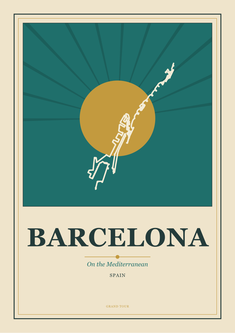 Barcelona
The print from this article · from €29.95
View the print →
Barcelona
The print from this article · from €29.95
View the print →
The Section Drawing a City Gives Away
The third thing water does for a European city is give it a section. This is a term poster artists know intuitively even if they never use the word: a place is drawable when you can cut a line through it in your head and see how it stacks up, layer by layer, from low ground to high. Rivers cut that line for you. They set the base elevation. Everything else is measured against them.
Amsterdam is the pure case of this. The concentric canal rings are not just an urban plan; they are a legible section drawing rendered in horizontal plan. Every canal is a shelf. Every shelf has the same building type on it. Every ring further out from the harbour is a later ring of ambition. A visitor who has never opened a history book can read the growth of the city by walking outward from the water — first the working port, then the merchant belt, then the wealthier residential arcs, each one an announcement that the previous ring had filled up and the money had to go somewhere. The water made this arrangement visible. Without the canals, the city would still exist, but nobody would be able to see how it was built.
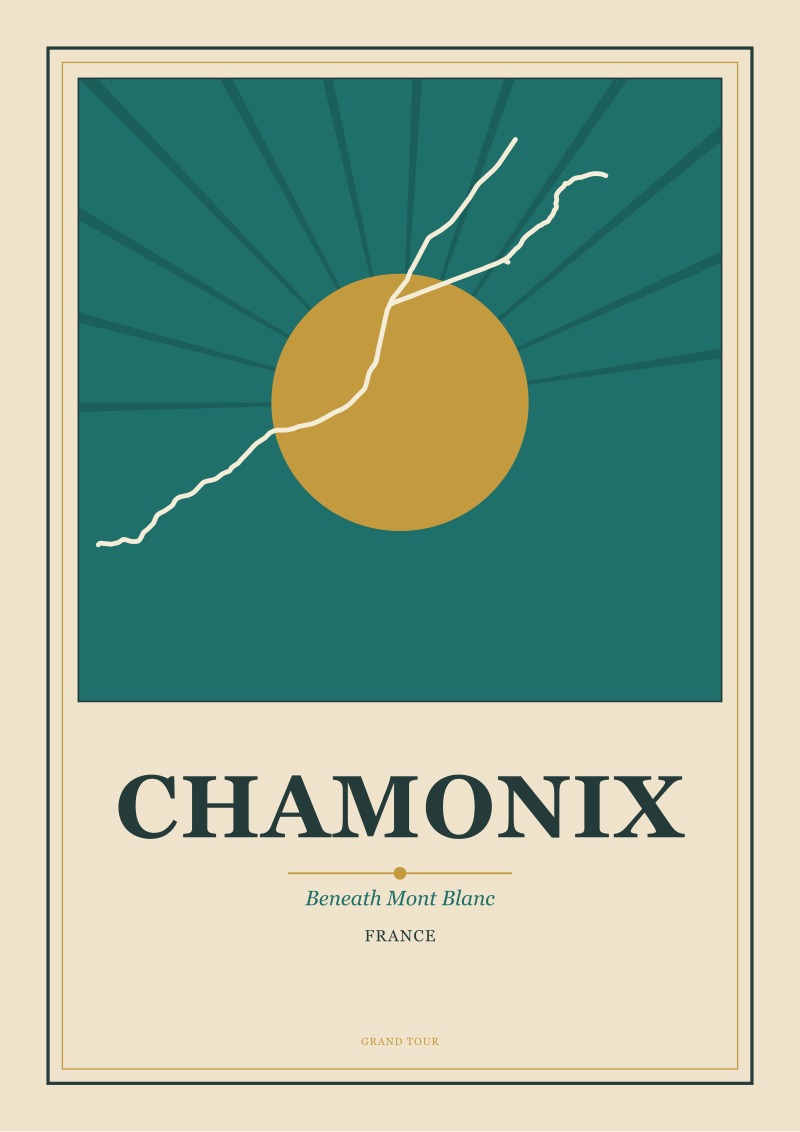
Chamonix does the same trick vertically. An alpine valley is a river's autobiography carved into stone: the water tells you where the floor of the world is, and everything else — the meadows, the treeline, the granite, the snowfield, the summit of Mont Blanc itself — arranges itself in registered bands above it. This is why alpine towns are so easy to draw and so hard to photograph badly. The section is already composed. The river gives you the horizon line, the valley walls give you the frame, and the mountain, if you are lucky with the light, resolves at the top of the picture like the last chord of a piece of music that has been building for two miles. Grand Tour artists working in the alpine tradition understood this before they understood anything else about the region. The mountain was not the subject. The section was the subject, and the mountain was where the section ended. (For a working example of what it looks like when this logic is drawn rather than described, our own alpine and canal-city prints in the /shop/ are the shortest possible summary of the argument.)
The rule is simple. Cities that grew on water are cities you can section. Cities you can section are cities you can draw. Cities you can draw are the ones that end up on posters, and the ones that end up on posters are the ones the rest of the world learns to want to visit. The pattern feeds itself.
The Coastal Exception That Proves the Rule
Now the exceptions. There are European cities that did not grow on rivers, and they are precisely the ones that go to the greatest lengths to invent an equivalent. Amalfi and Barcelona are the two cleanest examples, and they matter because they show that the "river or nothing" reading of the pattern is too narrow. The real rule is not about rivers. It is about a defining line of water that a city can organise itself against.
Amalfi has no river worth mentioning. What it has is a coastline so severe that it functions as a wall standing on its edge. The Costiera is essentially a section drawing turned ninety degrees: the sea is the base line, and the town climbs the cliff above it in registered bands the same way Chamonix climbs its valley. The freight logic still holds, only inverted — Amalfi was a maritime republic, and its early wealth arrived not down a river but off the Mediterranean, into a harbour so tightly folded into the rock that the town had nowhere to grow except upward. The result is a place that reads on a poster the same way an alpine valley does, because the compositional problem is identical: a strong horizontal, a strong vertical, and a colour palette dictated by geology.
Barcelona is the same story with different weather. It is not built on a river of any importance; it is built pressed against the Mediterranean, with a hard edge of water on one side and a wall of hills on the other. The city solved the drawability problem the way Amsterdam solved it — by imposing a legible geometric plan, in Barcelona's case the Eixample grid, that reads clearly against the natural constraints. But the underlying logic is the same as every river city we have discussed: pick a defining line of water, orient the settlement against it, and let the geometry of that orientation do the compositional work forever. The river cities inherited their line. Barcelona and Amalfi found theirs in the coast. The rule holds. It was never really about rivers. It was about having a horizon that meant something.
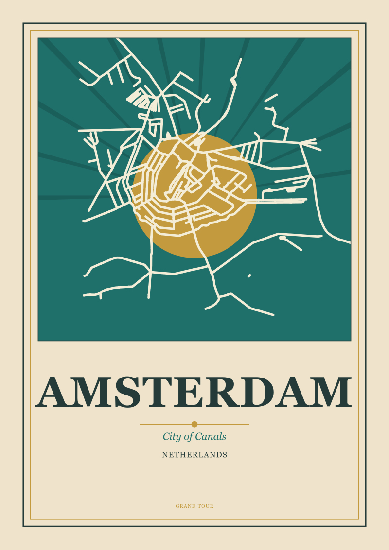 Amsterdam
The print from this article · from €29.95
View the print →
Amsterdam
The print from this article · from €29.95
View the print →
So What Do You Actually Do
Once you know the pattern, you can no longer look at a European city without reading it. This is not a trick, and it is not the sort of thing that leaves you when the trip ends. It is a habit. You arrive somewhere — Prague, Porto, Lyon, Bruges, Ghent — and before you have consulted anything, you find the water. You stand on a bridge. You look at which bank is older, which side the churches face, which side the merchant houses face, whether the loop of the river closes into a defensive teardrop or opens into a broad delta. Within about ten minutes, you have read the first thousand years of the city's history off its geography, and everything else you learn about the place is just detail hung on a frame you already understand.
The practical version of this is that you can plan a walk in almost any European city by simply walking the water. Start at the oldest bridge — there is almost always an oldest bridge, and it is almost always obvious. Cross once. Turn and look at the skyline from the other side, which is how the city was designed to be seen by anyone arriving. Then walk the near bank downstream to where the working port used to be, and the far bank upstream to where the merchant houses used to be. You will have seen the city's argument in an afternoon. Museums and cathedrals can wait. The section drawing was always the point.
And the deeper version, the one worth carrying home, is this: the reason European cities look the way they do on posters is not because poster artists were clever. It is because the cities were already composed before anyone drew them. A river settled the horizon line. A bend settled the frame. A wall of hills or a strip of coast handled the ones without rivers. The poster tradition of the last century and a half did not invent Europe's drawability. It found it, already waiting, in eight hundred years of settlements that grew on water because water was the road, and stayed on water because water, once you have built a city against it, becomes the thing the city is for.
New city prints and 10% off your first order.
One email now with your code. No noise after.